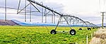
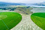
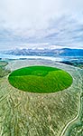
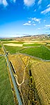
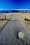
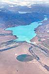
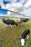
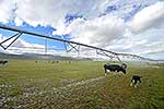
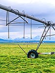
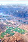
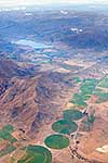
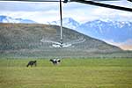
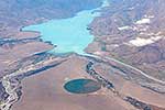
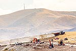
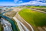
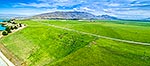
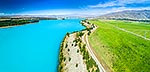
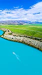
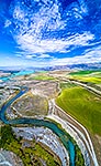
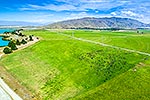
Lake Ruataniwha provides a boundary between old Mackenzie Basin landscape and pivot irrigated lush pastures used for dairying. A fast changing landscape. Aerial view, Twizel, MacKenzie District, Canterbury Region, New Zealand (NZ), stock photo.
These images are protected by copyright, but we license them to suit your needs. Click
'quick quote' to learn more...
Lake Ruataniwha provides a boundary between old Mackenzie Basin landscape and pivot irrigated lush pastures used for dairying. A fast changing landscape. Aerial view, Twizel, MacKenzie District, Canterbury Region, New Zealand (NZ) Stock Photo
Lake Ruataniwha provides a boundary between old Mackenzie Basin landscape and pivot irrigated lush pastures used for dairying. A fast changing landscape. Aerial view, Twizel, MacKenzie District, Canterbury Region, New Zealand (NZ)
 stock photo.")


")